
Oak Ridge topographic map
Click on the map to display elevation.
About this map
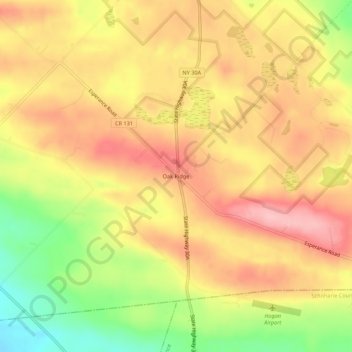
Name: Oak Ridge topographic map, elevation, terrain.
Average elevation: 383 m
Minimum elevation: 301 m
Maximum elevation: 439 m
Other topographic maps
Click on a map to view its topography, its elevation and its terrain.
City of Amsterdam
United States > New York > Montgomery County > City of Amsterdam
Average elevation: 147 m
Village of Fultonville
United States > New York > Montgomery County > Town of Glen
Average elevation: 119 m