
Georgenborn topographic map
Click on the map to display elevation.
About this map
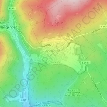
Name: Georgenborn topographic map, elevation, terrain.
Location: Georgenborn, Schlangenbad, Rheingau-Taunus-Kreis, Hesse, Germany (50.08114 8.11023 50.09198 8.13780)
Average elevation: 351 m
Minimum elevation: 203 m
Maximum elevation: 545 m