
White Lake topographic map
Click on the map to display elevation.
About this map
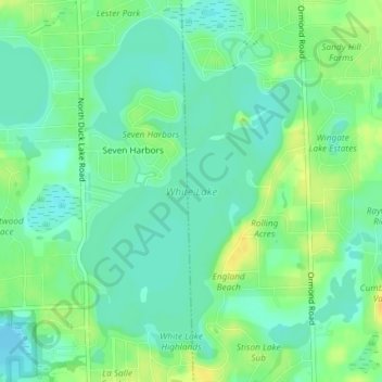
Name: White Lake topographic map, elevation, terrain.
Average elevation: 314 m
Minimum elevation: 304 m
Maximum elevation: 328 m
Other topographic maps
Click on a map to view its topography, its elevation and its terrain.
Oxbow
United States > Michigan > Oakland County > White Lake Charter Township
Average elevation: 293 m
Union Lake
United States > Michigan > Oakland County > White Lake Charter Township
Average elevation: 290 m
Oxbow
United States > Michigan > Oakland County > White Lake Charter Township
Average elevation: 293 m
Cranberry Lake
United States > Michigan > Oakland County > White Lake Charter Township
Average elevation: 295 m