
Aragats topographic map
Click on the map to display elevation.
About this map
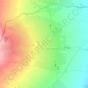
Name: Aragats topographic map, elevation, terrain.
Location: Aragats, Aparan community, Aragatsotn Province, Armenia (40.47978 44.33240 40.49844 44.36685)
Average elevation: 1,953 m
Minimum elevation: 1,891 m
Maximum elevation: 2,032 m
Other topographic maps
Click on a map to view its topography, its elevation and its terrain.
Oshakan
Oshakan is located in the Kasagh River valley at an altitude of 1,020 meters above sea level. The Kasagh River divides the village into two parts. Administratively, it borders the communities of Voskevaz, Ashtarak, Sasunik, and Dasht. Unofficially, Oshakan is divided into old and new districts.
Average elevation: 1,036 m