
Mae Sai topographic map
Interactive map
Click on the map to display elevation.
About this map
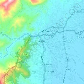
Name: Mae Sai topographic map, elevation, terrain.
Location: Mae Sai, Chiang Rai Province, 57130, Thailand (20.39880 99.84284 20.47880 99.92284)
Average elevation: 473 m
Minimum elevation: 380 m
Maximum elevation: 1,059 m