
Thank you for supporting this site ❤️
Make a donation
Make a donation
Gear up for your next adventure:
As an Amazon Associate, this site earns from qualifying purchases at no extra cost to you.
Girab topographic map
Click on the map to display elevation.
Thank you for supporting this site ❤️
Make a donation
Make a donation
Gear up for your next adventure:
As an Amazon Associate, this site earns from qualifying purchases at no extra cost to you.
About this map
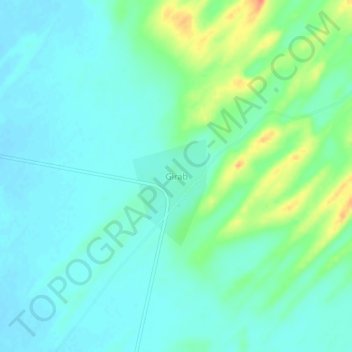
Name: Girab topographic map, elevation, terrain.
Location: Girab, Gadraroad Tehsil, Barmer, Rajasthan, India (26.00280 70.65043 26.04280 70.69043)
Average elevation: 172 m
Minimum elevation: 159 m
Maximum elevation: 208 m
Thank you for supporting this site ❤️
Make a donation
Make a donation
Gear up for your next adventure:
As an Amazon Associate, this site earns from qualifying purchases at no extra cost to you.