Geolocate

Balijuagan topographic map

Click on the map to display elevation.

About this map

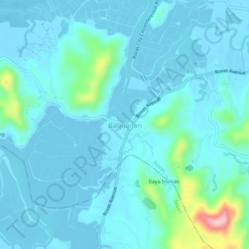
Name: Balijuagan topographic map, elevation, terrain.

Location: Balijuagan, Roxas, Capiz, Western Visayas, 5805, Philippines (11.52923 122.68609 11.56923 122.72609)

Average elevation: 24 m

Minimum elevation: -4 m

Maximum elevation: 204 m

Gear up for your next adventure:

🧥Waterproof Pants - Keep dry during rainy hiking conditions
🧣Evaporative Cooling Towel - Beat the heat during intense summer climbs
🦌Outdoor Trail Camera - Monitor wildlife activity near your favorite spots
🥾Light Trekking Boots - Supportive boots for multi-day treks
🕶️Polarized Sunglasses - Protect your eyes with durable polarized lenses

As an Amazon Associate, this site earns from qualifying purchases at no extra cost to you.