
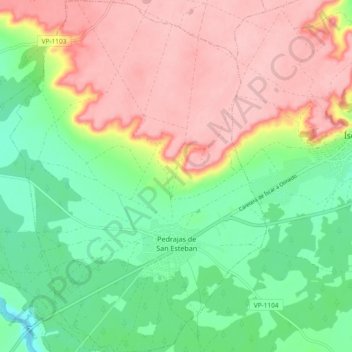
Pedrajas de San Esteban topographic map
Interactive map
Click on the map to display elevation.
About this map
Name: Pedrajas de San Esteban topographic map, elevation, terrain.
Location: Pedrajas de San Esteban, Valladolid, Castile and León, Spain (41.32035 -4.62491 41.39008 -4.55686)
Average elevation: 789 m
Minimum elevation: 724 m
Maximum elevation: 862 m