Geolocate

Swanton topographic map

Click on the map to display elevation.

About this map
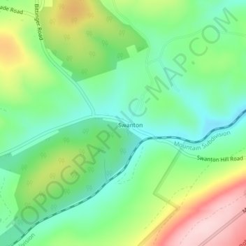
Name: Swanton topographic map, elevation, terrain.

Location: Swanton, Garrett County, Maryland, United States (39.45292 -79.23888 39.46552 -79.22565)

Average elevation: 773 m

Minimum elevation: 684 m

Maximum elevation: 930 m

Gear up for your next adventure:

👟Sport Hiking Sandals - Breathable footwear for water crossings and camp rest
☕Camping Coffee Maker - Brew fresh coffee anywhere on the topographic map
🔨Vehicle Emergency Tool - Safety tool for remote road trips to trailheads
🔋Lithium AA Batteries - Long-lasting power that performs in extreme cold
🕯️Camping Lantern - Illuminates your entire campsite with high-efficiency LEDs

As an Amazon Associate, this site earns from qualifying purchases at no extra cost to you.