
Thank you for supporting this site ❤️
Make a donation
Make a donation
Gear up for your next adventure:
As an Amazon Associate, this site earns from qualifying purchases at no extra cost to you.
Saint-Romain topographic map
Click on the map to display elevation.
Thank you for supporting this site ❤️
Make a donation
Make a donation
Gear up for your next adventure:
As an Amazon Associate, this site earns from qualifying purchases at no extra cost to you.
About this map
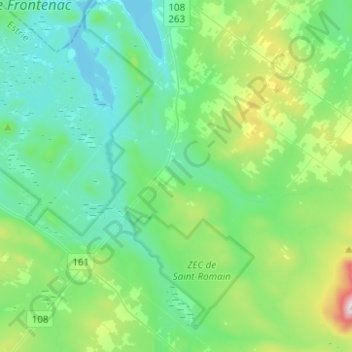
Name: Saint-Romain topographic map, elevation, terrain.
Location: Saint-Romain, Le Granit, Estrie, Québec, G0Y 1L0, Canada (45.66724 -71.16191 45.84038 -70.98675)
Average elevation: 409 m
Minimum elevation: 283 m
Maximum elevation: 888 m
Thank you for supporting this site ❤️
Make a donation
Make a donation
Gear up for your next adventure:
As an Amazon Associate, this site earns from qualifying purchases at no extra cost to you.