
Sentul topographic map
Interactive map
Click on the map to display elevation.
About this map
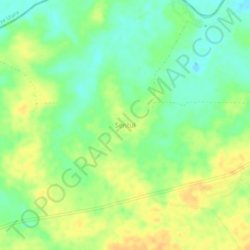
Name: Sentul topographic map, elevation, terrain.
Location: Sentul, Tanjung Batu, Ogan Ilir, South Sumatra, Indonesia (-3.31712 104.56278 -3.27712 104.60278)
Average elevation: 15 m
Minimum elevation: -2 m
Maximum elevation: 30 m