
Keswick Ridge topographic map
Click on the map to display elevation.
About this map
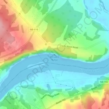
Name: Keswick Ridge topographic map, elevation, terrain.
Average elevation: 43 m
Minimum elevation: -14 m
Maximum elevation: 132 m
Central York Rural Community trails, hiking, mountain biking, running and outdoor activities
Other topographic maps
Click on a map to view its topography, its elevation and its terrain.
Zealand
Canada > New Brunswick > Central York Rural Community > Bright Parish
Average elevation: 117 m
Mactaquac
Canada > New Brunswick > Central York Rural Community > Bright Parish
Average elevation: 99 m