
Thank you for supporting this site ❤️
Make a donation
Make a donation
Gear up for your next adventure:
As an Amazon Associate, this site earns from qualifying purchases at no extra cost to you.
Leask topographic map
Click on the map to display elevation.
Thank you for supporting this site ❤️
Make a donation
Make a donation
Gear up for your next adventure:
As an Amazon Associate, this site earns from qualifying purchases at no extra cost to you.
About this map
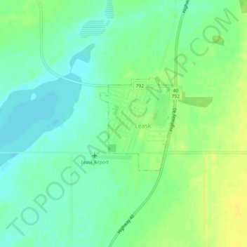
Name: Leask topographic map, elevation, terrain.
Location: Leask, Leask No. 464, Saskatchewan, S0J 1M0, Canada (53.01505 -106.74902 53.02525 -106.73570)
Average elevation: 524 m
Minimum elevation: 514 m
Maximum elevation: 535 m
Leask No. 464 trails, hiking, mountain biking, running and outdoor activities
Thank you for supporting this site ❤️
Make a donation
Make a donation
Gear up for your next adventure:
As an Amazon Associate, this site earns from qualifying purchases at no extra cost to you.