Geolocate

Tayagasha topographic map

Click on the map to display elevation.

About this map

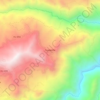
Name: Tayagasha topographic map, elevation, terrain.

Location: Tayagasha, Panao, Pachitea, Huánuco, Perú (-10.09077 -75.92794 -10.05077 -75.88794)

Average elevation: 3,163 m

Minimum elevation: 2,625 m

Maximum elevation: 3,606 m

Gear up for your next adventure:

🥾Light Hiking Boots - Lightweight and comfortable boots for day hikes
🧰Emergency Multi-Tool - Compact multi-tool for outdoor survival
🧥Thermal Layer - Insulating layer for cold outdoor conditions
🥾Waterproof Hiking Boots - Boots keeping your feet dry in wet conditions
🧥Thermal Fleece Jacket - Versatile insulation for changing mountain temperatures

As an Amazon Associate, this site earns from qualifying purchases at no extra cost to you.