
De Peppeld topographic map
Interactive map
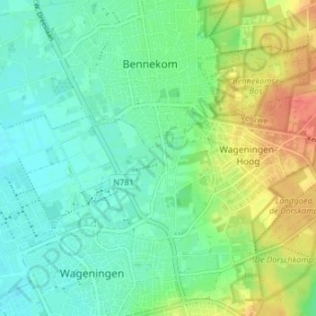
Click on the map to display elevation.
About this map
Name: De Peppeld topographic map, elevation, terrain.
Average elevation: 22 m
Minimum elevation: 5 m
Maximum elevation: 55 m
Other topographic maps
Click on a map to view its topography, its elevation and its terrain.
Leeuwen
Nederland > Gelderland > Wageningen > Wageningen-Hoog
Leeuwen, Wageningen-Hoog, Wageningen, Gelderland, Nederland, 6704 AN, Nederland
Average elevation: 21 m