
Sherwood Lake topographic map
Interactive map
Click on the map to display elevation.
About this map
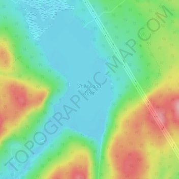
Name: Sherwood Lake topographic map, elevation, terrain.
Average elevation: 115 m
Minimum elevation: 68 m
Maximum elevation: 207 m
Other topographic maps
Click on a map to view its topography, its elevation and its terrain.
Grand Bay-Westfield
Canada > New Brunswick > Westfield Parish
Grand Bay-Westfield, Westfield Parish, Kings County, New Brunswick, Canada
Average elevation: 63 m