Geolocate

Spivey Store topographic map

Click on the map to display elevation.

About this map

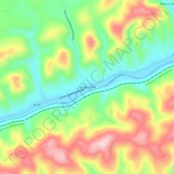
Name: Spivey Store topographic map, elevation, terrain.

Location: Spivey Store, Scott County, Virginia, United States (36.67649 -82.70377 36.71649 -82.66377)

Average elevation: 496 m

Minimum elevation: 371 m

Maximum elevation: 656 m

Other topographic maps

Click on a map to view its topography, its elevation and its terrain.

Duffield

United States > Virginia > Scott County

Average elevation: 457 m

Gate City

United States > Virginia > Scott County

Average elevation: 488 m

Duffield

United States > Virginia > Scott County

Average elevation: 457 m

Gear up for your next adventure:

🧢Beanie Hat - Keep your head warm in cold weather
🥾Approach Boots - Comfortable boots for hiking and climbing approaches
🧦Hiking Liner Socks - Thin base layer to prevent friction and blisters
🔭Compact Monocular - One-handed bird watching and trail spotting
🧥Ultralight Puffy Jacket - Maximum warmth that packs down to the size of an orange

As an Amazon Associate, this site earns from qualifying purchases at no extra cost to you.