
Thank you for supporting this site ❤️
Make a donation
Make a donation
Gear up for your next adventure:
As an Amazon Associate, this site earns from qualifying purchases at no extra cost to you.
Kenenda topographic map
Click on the map to display elevation.
Thank you for supporting this site ❤️
Make a donation
Make a donation
Gear up for your next adventure:
As an Amazon Associate, this site earns from qualifying purchases at no extra cost to you.
About this map
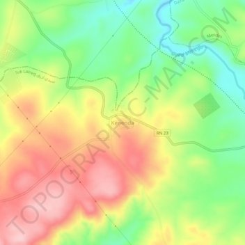
Name: Kenenda topographic map, elevation, terrain.
Location: Kenenda, Sidi Lazreg, Daïra Mendas, Relizane, 48065, Algérie (35.63497 0.80260 35.67497 0.84260)
Average elevation: 527 m
Minimum elevation: 430 m
Maximum elevation: 629 m
Thank you for supporting this site ❤️
Make a donation
Make a donation
Gear up for your next adventure:
As an Amazon Associate, this site earns from qualifying purchases at no extra cost to you.