
Make a donation
Gear up for your next adventure:
As an Amazon Associate, this site earns from qualifying purchases at no extra cost to you.
Monte Vioz topographic map
Click on the map to display elevation.
Make a donation
Gear up for your next adventure:
As an Amazon Associate, this site earns from qualifying purchases at no extra cost to you.
Monte Vioz
La via normale è considerata quella dal versante trentino. Priva di difficoltà tecniche degne di nota (eccetto lo sviluppo e l'altitudine) è valutata EE-F. L'ascesa parte dal rifugio Doss dei Cembri (2300 m s.l.m.), raggiungibile con impianti a fune da Peio Fonti, e si sviluppa per 1300 m di dislivello su sentiero roccioso molto ben tracciato.
Make a donation
Gear up for your next adventure:
As an Amazon Associate, this site earns from qualifying purchases at no extra cost to you.
About this map
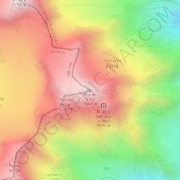
Name: Monte Vioz topographic map, elevation, terrain.
Average elevation: 3,181 m
Minimum elevation: 2,583 m
Maximum elevation: 3,665 m
Make a donation
Gear up for your next adventure:
As an Amazon Associate, this site earns from qualifying purchases at no extra cost to you.