
Santarem topographic map
Interactive map
Click on the map to display elevation.
About this map
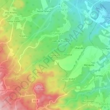
Name: Santarem topographic map, elevation, terrain.
Location: Santarem, Changra, Santo Amaro, Lobata, São Tomé und Príncipe (0.32216 6.66552 0.36216 6.70552)
Average elevation: 137 m
Minimum elevation: 24 m
Maximum elevation: 301 m