Geolocate

Tangarpali topographic map

Click on the map to display elevation.

About this map

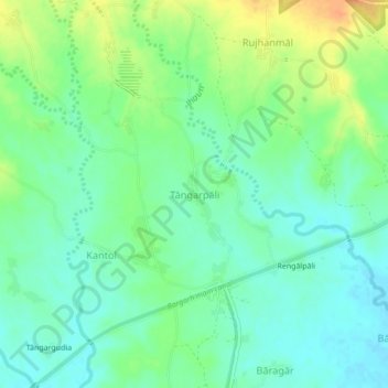
Name: Tangarpali topographic map, elevation, terrain.

Location: Tangarpali, Attabira, Bargarh District, Odisha, India (21.44575 83.69139 21.48575 83.73139)

Average elevation: 186 m

Minimum elevation: 171 m

Maximum elevation: 212 m

Gear up for your next adventure:

🛁Quick-Dry Microfiber Towel - Space-saving towel that dries rapidly on the move
🥘Camping Cookware Set - Compact nesting pots and pans for trail cooking
🎒Hiking Backpack - Lightweight and ergonomic backpacks for day hikes or multi-day treks
🧊Portable Cooler - Keep food and drinks cold during outdoor adventures
🧥Waterproof Pants - Keep dry during rainy hiking conditions

As an Amazon Associate, this site earns from qualifying purchases at no extra cost to you.