Geolocate

Center topographic map

Click on the map to display elevation.

About this map

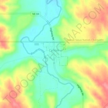
Name: Center topographic map, elevation, terrain.

Location: Center, Knox County, Nebraska, United States (42.60559 -97.88045 42.61145 -97.87208)

Average elevation: 451 m

Minimum elevation: 415 m

Maximum elevation: 499 m

Other topographic maps

Click on a map to view its topography, its elevation and its terrain.

Gear up for your next adventure:

🧢Outdoor Cap - Protective cap for sun and rain during hikes
🧴Waterproofing Spray - Restore the DWR coating on jackets and tents
🍽️Titanium Camping Spork - Ultralight and indestructible eating utensil
🧴First Aid Kit - Essential first aid supplies for outdoor emergencies
🥾Mountaineering Boots - Supportive boots for climbing and high-altitude hiking

As an Amazon Associate, this site earns from qualifying purchases at no extra cost to you.