Geolocate

Shahdad topographic map

Click on the map to display elevation.

About this map

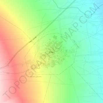
Name: Shahdad topographic map, elevation, terrain.

Location: Shahdad, بخش شهداد, Kerman County, Kerman Province, Iran (30.37964 57.66237 30.45964 57.74237)

Average elevation: 452 m

Minimum elevation: 368 m

Maximum elevation: 583 m

Gear up for your next adventure:

🛰️Satellite Messenger - Emergency communication for areas with no cell service
🔭Compact Monocular - One-handed bird watching and trail spotting
🧢Beanie Hat - Keep your head warm in cold weather
🧤Thermal Hiking Gloves - Grip-enhanced gloves for cold-weather altitude trekking
🎒Hiking Backpack - Lightweight and ergonomic backpacks for day hikes or multi-day treks

As an Amazon Associate, this site earns from qualifying purchases at no extra cost to you.