
Gunung Begol topographic map
Interactive map
Click on the map to display elevation.
About this map
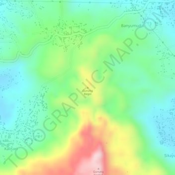
Name: Gunung Begol topographic map, elevation, terrain.
Location: Gunung Begol, Kebumen, Java central, Jawa, 54366, Indonésie (-7.65616 109.46467 -7.65606 109.46477)
Average elevation: 148 m
Minimum elevation: 41 m
Maximum elevation: 347 m