
Brule River State Forest (center) topographic map
Interactive map
Click on the map to display elevation.
About this map
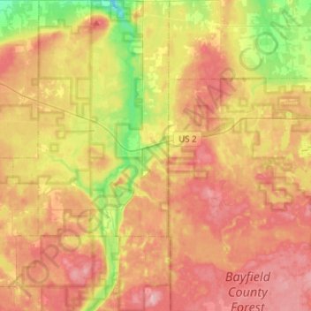
Name: Brule River State Forest (center) topographic map, elevation, terrain.
Average elevation: 345 m
Minimum elevation: 261 m
Maximum elevation: 415 m
Other topographic maps
Click on a map to view its topography, its elevation and its terrain.
Hoodoo Lake
United States > Wisconsin > Douglas County > Town of Brule
Hoodoo Lake, Town of Brule, Douglas County, Wisconsin, United States
Average elevation: 324 m