
Sofkee topographic map
Click on the map to display elevation.
About this map
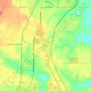
Name: Sofkee topographic map, elevation, terrain.
Location: Sofkee, Macon, Bibb County, Georgia, 31297, United States (32.70431 -83.67324 32.74431 -83.63324)
Average elevation: 110 m
Minimum elevation: 84 m
Maximum elevation: 129 m
Other topographic maps
Click on a map to view its topography, its elevation and its terrain.
Ocmulgee Mounds National Historical Park
United States > Georgia > Bibb County > Macon
Average elevation: 96 m