Geolocate

Nanticoke topographic map

Click on the map to display elevation.

About this map

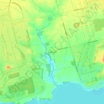
Name: Nanticoke topographic map, elevation, terrain.

Location: Nanticoke, Haldimand County, Ontario, Canada (42.79010 -80.09281 42.83010 -80.05281)

Average elevation: 188 m

Minimum elevation: 169 m

Maximum elevation: 210 m

Haldimand County trails, hiking, mountain biking, running and outdoor activities

Gear up for your next adventure:

🧢Beanie Hat - Keep your head warm in cold weather
🛶Waterproof Dry Bags - Keep electronics and clothes dry during river crossings
🧥Softshell Hiking Jacket - The perfect balance of wind protection and breathability
🧥Waterproof Jacket - Lightweight rain jackets for hiking and outdoor activities
🥾Mountain Hiking Boots - High-traction boots for rocky terrain

As an Amazon Associate, this site earns from qualifying purchases at no extra cost to you.