
Brohm topographic map
Click on the map to display elevation.
About this map
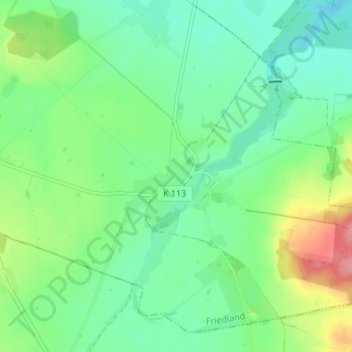
Name: Brohm topographic map, elevation, terrain.
Average elevation: 46 m
Minimum elevation: 19 m
Maximum elevation: 107 m
Other topographic maps
Click on a map to view its topography, its elevation and its terrain.
Brohmer Stausee
Deutschland > Mecklenburg-Vorpommern > Mecklenburgische Seenplatte > Friedland > Cosa
Average elevation: 44 m
Eichhorst
Deutschland > Mecklenburg-Vorpommern > Mecklenburgische Seenplatte > Friedland
Average elevation: 59 m