Geolocate

Manjimup topographic map

Click on the map to display elevation.

About this map

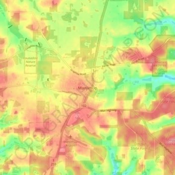
Name: Manjimup topographic map, elevation, terrain.

Location: Manjimup, Western Australia, 6258, Australia (-34.28103 116.10630 -34.20103 116.18630)

Average elevation: 265 m

Minimum elevation: 209 m

Maximum elevation: 307 m

Gear up for your next adventure:

🥾Mountaineering Boots - Supportive boots for climbing and high-altitude hiking
💡Portable Camping Lamp - Rechargeable lamp for campsite lighting
🛌Down Sleeping Bag - Superior warmth-to-weight ratio for cold nights
🧶550 Survival Paracord - Versatile utility cord for emergency repairs and rigging
🧢Sun Protection Cap - Breathable cap to protect from sun exposure

As an Amazon Associate, this site earns from qualifying purchases at no extra cost to you.