Geolocate

Santa Rita Durão topographic map

Click on the map to display elevation.

About this map
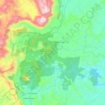
Name: Santa Rita Durão topographic map, elevation, terrain.

Location: Santa Rita Durão, Mariana, Minas Gerais, Região Sudeste, 35428-000, Brasil (-20.28565 -43.53500 -20.12200 -43.29900)

Average elevation: 979 m

Minimum elevation: 575 m

Maximum elevation: 2,081 m

Other topographic maps

Click on a map to view its topography, its elevation and its terrain.

Rio Brumado

Brasil > Minas Gerais > Mariana

Average elevation: 667 m

Serra do Caraça

Brasil > Minas Gerais > Mariana

Average elevation: 1,301 m

Rio do Carmo

Brasil > Minas Gerais > Mariana

Average elevation: 490 m

Gear up for your next adventure:

🧤Insulated Winter Gloves - Heavy-duty protection for sub-zero Canadian adventures
🦟Insect Repellent - Keep mosquitoes and black flies away in wooded areas
🧥Softshell Jacket - Windproof and breathable jacket for hiking
🕶️Polarized Sunglasses - Reduces glare from snow and water at high elevations
🧢Outdoor Visor - Breathable visor for sunny hikes

As an Amazon Associate, this site earns from qualifying purchases at no extra cost to you.