
Blue Hills topographic map
Click on the map to display elevation.
About this map
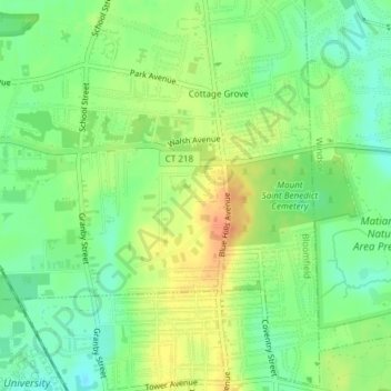
Name: Blue Hills topographic map, elevation, terrain.
Average elevation: 31 m
Minimum elevation: 13 m
Maximum elevation: 51 m
Other topographic maps
Click on a map to view its topography, its elevation and its terrain.
Talcott Mountain
United States > Connecticut > Capitol Planning Region > Bloomfield
Average elevation: 152 m
Talcott Mountain
United States > Connecticut > Capitol Planning Region > Bloomfield
Average elevation: 152 m
Cottage Grove
United States > Connecticut > Capitol Planning Region > Bloomfield
Average elevation: 31 m