
Rampura Phul topographic map
Interactive map
Click on the map to display elevation.
About this map
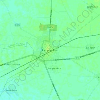
Name: Rampura Phul topographic map, elevation, terrain.
Average elevation: 219 m
Minimum elevation: 214 m
Maximum elevation: 223 m
Other topographic maps
Click on a map to view its topography, its elevation and its terrain.
Ramniwas
India > Punjab > Rampura Phul Tahsil
Ramniwas, Rampura Phul Tahsil, Bathinda, Punjab, India
Average elevation: 216 m