
Thank you for supporting this site ❤️
Make a donation
Make a donation
Gear up for your next adventure:
As an Amazon Associate, this site earns from qualifying purchases at no extra cost to you.
Sarvestan topographic map
Click on the map to display elevation.
Thank you for supporting this site ❤️
Make a donation
Make a donation
Gear up for your next adventure:
As an Amazon Associate, this site earns from qualifying purchases at no extra cost to you.
About this map
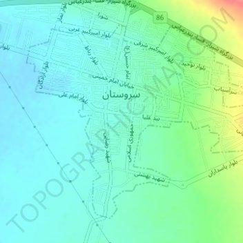
Name: Sarvestan topographic map, elevation, terrain.
Location: Sarvestan, بخش مرکزی, Sarvestan County, Fars Province, Iran (29.25829 53.20949 29.27978 53.23987)
Average elevation: 1,548 m
Minimum elevation: 1,531 m
Maximum elevation: 1,599 m
Thank you for supporting this site ❤️
Make a donation
Make a donation
Gear up for your next adventure:
As an Amazon Associate, this site earns from qualifying purchases at no extra cost to you.