Geolocate

Plitvice topographic map

Click on the map to display elevation.

About this map

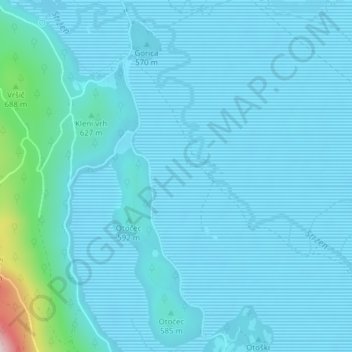
Name: Plitvice topographic map, elevation, terrain.

Location: Plitvice, Otok, Cerknica, 1384, Slovenia (45.74286 14.35696 45.76286 14.37696)

Average elevation: 574 m

Minimum elevation: 543 m

Maximum elevation: 912 m

Gear up for your next adventure:

🧼Biodegradable Camp Soap - Environmentally friendly cleaning for gear and body
🧢Sun Hat - Wide-brim hat for sun protection
🧢Outdoor Visor - Breathable visor for sunny hikes
🧣Merino Neck Gaiter - Protects against wind, sun, and cold at high altitudes
💧Hydration Pack - Hands-free hydration system for long hikes

As an Amazon Associate, this site earns from qualifying purchases at no extra cost to you.