
Farm Hill topographic map
Click on the map to display elevation.
About this map
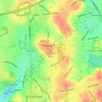
Name: Farm Hill topographic map, elevation, terrain.
Average elevation: 45 m
Minimum elevation: 14 m
Maximum elevation: 73 m
Other topographic maps
Click on a map to view its topography, its elevation and its terrain.
Spot Pond
United States > Massachusetts > Middlesex County > Stoneham > Haywardville
Average elevation: 54 m
Spot Pond
United States > Massachusetts > Middlesex County > Stoneham > Haywardville
Average elevation: 54 m