
Oued Athmania topographic map
Interactive map
Click on the map to display elevation.
About this map
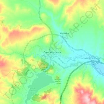
Name: Oued Athmania topographic map, elevation, terrain.
Location: Oued Athmania, Daïra Chelghoum Laïd, Mila, Algérie (36.20955 6.24706 36.28955 6.32706)
Average elevation: 756 m
Minimum elevation: 674 m
Maximum elevation: 908 m