Geolocate

Novillero topographic map

Click on the map to display elevation.

About this map

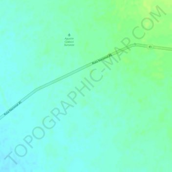
Name: Novillero topographic map, elevation, terrain.

Location: Novillero, Agustín Codazzi, Cesar, RAP Caribe, Colombia (9.98408 -73.33551 10.00408 -73.31551)

Average elevation: 83 m

Minimum elevation: 77 m

Maximum elevation: 91 m

Gear up for your next adventure:

🛰️Satellite Messenger - Emergency communication for areas with no cell service
🥾Waterproof Hiking Boots - Boots keeping your feet dry in wet conditions
🦶Anti-Blister Balm - Prevents friction and hotspots during long ascents
🦶Hiking Shoe Insoles - Added support for high arches and long days on feet
🐕Hiking Dog Pack - Let your canine companion carry their own water and food

As an Amazon Associate, this site earns from qualifying purchases at no extra cost to you.