Geolocate

Jasrasar topographic map

Click on the map to display elevation.

About this map

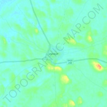
Name: Jasrasar topographic map, elevation, terrain.

Location: Jasrasar, Nokha Tehsil, Bikaner, Rajasthan, India (27.66885 73.77306 27.74885 73.85306)

Average elevation: 311 m

Minimum elevation: 301 m

Maximum elevation: 347 m

Gear up for your next adventure:

🦯Trekking Poles - Reduced impact on joints for steep topographic climbs
🧼Travel Hand Sanitizer - Keep hands clean when water is scarce
🧦Hiking Liner Socks - Thin base layer to prevent friction and blisters
🧢Hiking Sun Hat - Wide-brimmed protection for exposed mountain ridges
🛶Canoe Life Vest - Safety vest for water sports

As an Amazon Associate, this site earns from qualifying purchases at no extra cost to you.