Geolocate

Auraiya topographic map

Click on the map to display elevation.

About this map

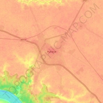
Name: Auraiya topographic map, elevation, terrain.

Location: Auraiya, Uttar Pradesh, 206122, India (26.42452 79.47016 26.50452 79.55016)

Average elevation: 137 m

Minimum elevation: 99 m

Maximum elevation: 145 m

Gear up for your next adventure:

🧢Sun Protection Cap - Breathable cap to protect from sun exposure
🔦LED Headtorch - Bright and durable light for night activities
🥾Hiking Boots - Sturdy boots providing ankle support and traction on rugged trails
🧭Orienteering Kit - Tools for map reading and navigation in the wild
🥾Light Hiking Boots - Lightweight and comfortable boots for day hikes

As an Amazon Associate, this site earns from qualifying purchases at no extra cost to you.