Geolocate

Perarolo topographic map

Click on the map to display elevation.

About this map
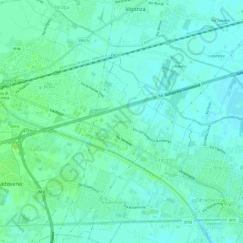
Name: Perarolo topographic map, elevation, terrain.

Location: Perarolo, Vigonza, Province of Padua, Veneto, 35010, Italy (45.40447 11.95990 45.44447 11.99990)

Average elevation: 9 m

Minimum elevation: 5 m

Maximum elevation: 15 m

Gear up for your next adventure:

🪑Ultralight Camping Stool - Compact seating for rest stops during long hikes
🧰Multitool Knife - Compact and versatile tool for outdoor use
🦌Outdoor Trail Camera - Monitor wildlife activity near your favorite spots
🧴Outdoor Sunscreen - High SPF protection for high-altitude UV exposure
☕Camping Coffee Maker - Brew fresh coffee anywhere on the topographic map

As an Amazon Associate, this site earns from qualifying purchases at no extra cost to you.