Geolocate

Perarolo topographic map

Click on the map to display elevation.

About this map

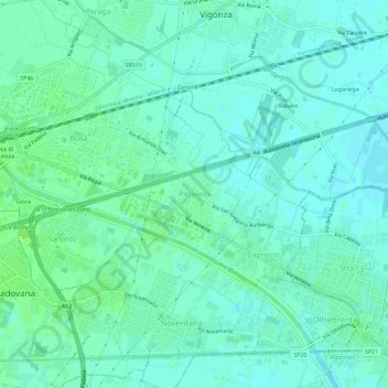
Name: Perarolo topographic map, elevation, terrain.

Location: Perarolo, Vigonza, Province of Padua, Veneto, 35010, Italy (45.40447 11.95990 45.44447 11.99990)

Average elevation: 9 m

Minimum elevation: 5 m

Maximum elevation: 15 m

Gear up for your next adventure:

🥾Trail Hiking Socks - Comfortable socks to prevent blisters and fatigue
🥾Waterproof Hiking Boots - Essential footwear for rugged terrain and wet Canadian trails
🥾Trail Running Shoes - Lightweight and durable shoes for trail running
🧳Compression Sacks - Maximize space in your backpack by shrinking gear
🧣Merino Neck Gaiter - Protects against wind, sun, and cold at high altitudes

As an Amazon Associate, this site earns from qualifying purchases at no extra cost to you.