Geolocate

Sioux Falls topographic map

Click on the map to display elevation.

About this map

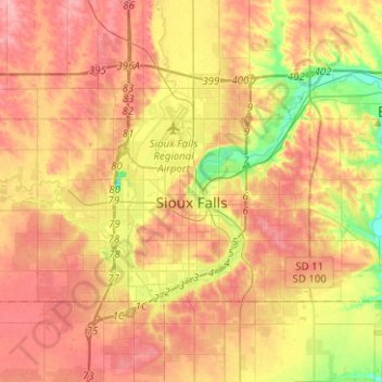
Name: Sioux Falls topographic map, elevation, terrain.

Location: Sioux Falls, Sioux Falls Township, Minnehaha County, South Dakota, United States (43.46429 -96.84917 43.64176 -96.59796)

Average elevation: 444 m

Minimum elevation: 389 m

Maximum elevation: 484 m

Other topographic maps

Click on a map to view its topography, its elevation and its terrain.

Gear up for your next adventure:

🔦LED Headtorch - Bright and durable light for night activities
🦶Anti-Blister Balm - Prevents friction and hotspots during long ascents
🥾Waterproof Trail Shoes - Shoes designed to handle wet terrain
💡LED Camping Lantern - Illuminate your campsite with long-lasting lanterns
🥾Light Hiking Boots - Lightweight and comfortable boots for day hikes

As an Amazon Associate, this site earns from qualifying purchases at no extra cost to you.