
Oak Grove topographic map
Click on the map to display elevation.
About this map
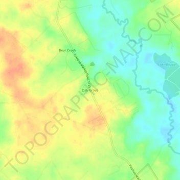
Name: Oak Grove topographic map, elevation, terrain.
Location: Oak Grove, San Jacinto County, Texas, United States (30.42048 -95.23522 30.46048 -95.19522)
Average elevation: 70 m
Minimum elevation: 49 m
Maximum elevation: 90 m
Other topographic maps
Click on a map to view its topography, its elevation and its terrain.