Geolocate

Bujarrabal topographic map

Click on the map to display elevation.

About this map

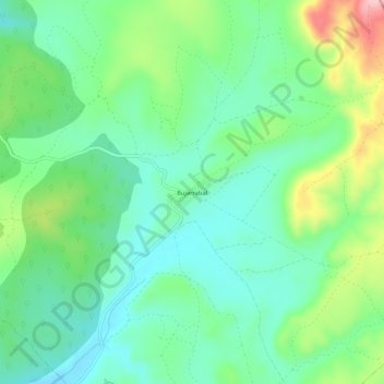
Name: Bujarrabal topographic map, elevation, terrain.

Location: Bujarrabal, Sigüenza, Guadalajara, Castilla-La Mancha, España (41.07595 -2.52802 41.11595 -2.48802)

Average elevation: 1,160 m

Minimum elevation: 1,099 m

Maximum elevation: 1,302 m

Other topographic maps

Click on a map to view its topography, its elevation and its terrain.

Riosalido

España > Castilla-La Mancha > Sigüenza

Average elevation: 1,041 m

Gear up for your next adventure:

🧴Outdoor Sunscreen - High SPF protection for high-altitude UV exposure
Backpacking Tent - Lightweight tent for long-distance hiking trips
🥾Waterproof Hiking Boots - Boots keeping your feet dry in wet conditions
Bushcraft Tarp - Versatile emergency shelter or gear protection
🔦LED Headlamp - Hands-free lighting for early morning starts or late finishes

As an Amazon Associate, this site earns from qualifying purchases at no extra cost to you.