
Begonte topographic map
Interactive map
Click on the map to display elevation.
About this map
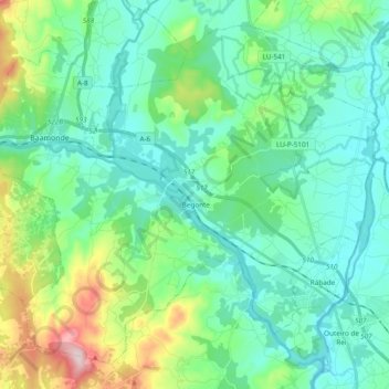
Name: Begonte topographic map, elevation, terrain.
Location: Begonte, Tierra Chá, Lugo, Galicia, 27373, España (43.09300 -7.78624 43.21444 -7.59529)
Average elevation: 455 m
Minimum elevation: 377 m
Maximum elevation: 733 m