
董干镇 topographic map
Interactive map
Click on the map to display elevation.
About this map
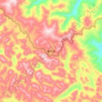
Name: 董干镇 topographic map, elevation, terrain.
Location: 董干镇, 麻栗坡县, 文山壮族苗族自治州, 云南省, 中国 (23.32190 105.11857 23.40190 105.19857)
Average elevation: 1,608 m
Minimum elevation: 1,155 m
Maximum elevation: 1,891 m
Other topographic maps
Click on a map to view its topography, its elevation and its terrain.