Geolocate

Orchard topographic map

Interactive map

Click on the map to display elevation.

Orchard topographic map, elevation, terrain

Orchard topographic map, elevation, terrain

About this map

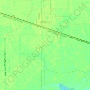
Name: Orchard topographic map, elevation, terrain.

Location: Orchard, Fort Bend County, Texas, 77464, United States (29.57948 -95.97327 29.61185 -95.96328)

Average elevation: 38 m

Minimum elevation: 28 m

Maximum elevation: 41 m

Other topographic maps

Click on a map to view its topography, its elevation and its terrain.

Sugar Land

United States > Texas > Fort Bend County

Sugar Land is located in northeast Fort Bend County, 20 miles (32 km) southwest of downtown Houston. It is bordered by Houston to the northeast, and by Stafford, Missouri City, and Meadows Place to the east. According to the United States Census Bureau, the city of Sugar Land has a total area of 42.9 square…

Average elevation: 24 m

Katy

United States > Texas > Fort Bend County

Average elevation: 44 m

Guy

United States > Texas > Fort Bend County

Average elevation: 24 m