
Make a donation
Gear up for your next adventure:
As an Amazon Associate, this site earns from qualifying purchases at no extra cost to you.
Yapacani topographic map
Click on the map to display elevation.
Make a donation
Gear up for your next adventure:
As an Amazon Associate, this site earns from qualifying purchases at no extra cost to you.
About this map
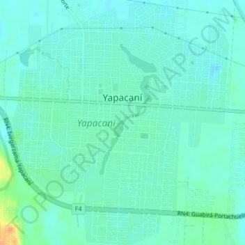
Name: Yapacani topographic map, elevation, terrain.
Average elevation: 290 m
Minimum elevation: 282 m
Maximum elevation: 319 m
Make a donation
Gear up for your next adventure:
As an Amazon Associate, this site earns from qualifying purchases at no extra cost to you.
Other topographic maps
Click on a map to view its topography, its elevation and its terrain.
Cooperativa El Chore
Bolivia > Santa Cruz > Provincia Ichilo > Municipio Yapacaní > Cooperativa El Chore
Average elevation: 287 m
Municipio Buena Vista
Bolivia > Santa Cruz > Provincia Ichilo
Se encuentra a 17º27' de latitud sur y a 63º40' de longitud oeste, a una altitud de 300 m s. n. m.
Average elevation: 721 m
Buena Vista
Bolivia > Santa Cruz > Provincia Ichilo > Municipio Buena Vista
Se encuentra a 17º27' de latitud sur y a 63º40' de longitud oeste, a una altitud de 300 m s. n. m.
Average elevation: 358 m