Geolocate

Kenna topographic map

Click on the map to display elevation.

About this map

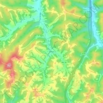
Name: Kenna topographic map, elevation, terrain.

Location: Kenna, Jackson County, West Virginia, United States (38.65634 -81.68002 38.69634 -81.64002)

Average elevation: 276 m

Minimum elevation: 211 m

Maximum elevation: 360 m

Other topographic maps

Click on a map to view its topography, its elevation and its terrain.

Ripley

United States > West Virginia > Jackson County

Average elevation: 215 m

Gear up for your next adventure:

🥾Light Trekking Boots - Supportive boots for multi-day treks
🧥Ultralight Puffy Jacket - Maximum warmth that packs down to the size of an orange
🔥Camping Stove - Portable stoves to cook outdoors with ease
🐕Hiking Dog Pack - Let your canine companion carry their own water and food
🔦LED Headlamp - Hands-free lighting for early morning starts or late finishes

As an Amazon Associate, this site earns from qualifying purchases at no extra cost to you.