Geolocate

Bolstad topographic map

Click on the map to display elevation.

About this map

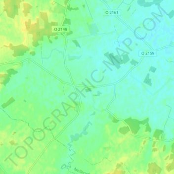
Name: Bolstad topographic map, elevation, terrain.

Location: Bolstad, Melleruds kommun, Västra Götaland County, Sweden (58.55644 12.46258 58.59644 12.50258)

Average elevation: 55 m

Minimum elevation: 47 m

Maximum elevation: 66 m

Other topographic maps

Click on a map to view its topography, its elevation and its terrain.

43081

Sweden > Västra Götaland County > Gothenburg

Average elevation: 3 m

Falköping

Sweden > Västra Götaland County

Average elevation: 239 m

Gear up for your next adventure:

Tent Footprint - Protect tent floor and increase durability
🪑Insulated Seat Pad - Protect your seat from cold rocks and wet logs
🧢Sun Protection Cap - Breathable cap to protect from sun exposure
🥾Trail Running Boots - Durable shoes designed for trail running
🧼Biodegradable Camp Soap - Environmentally friendly cleaning for gear and body

As an Amazon Associate, this site earns from qualifying purchases at no extra cost to you.